Map View
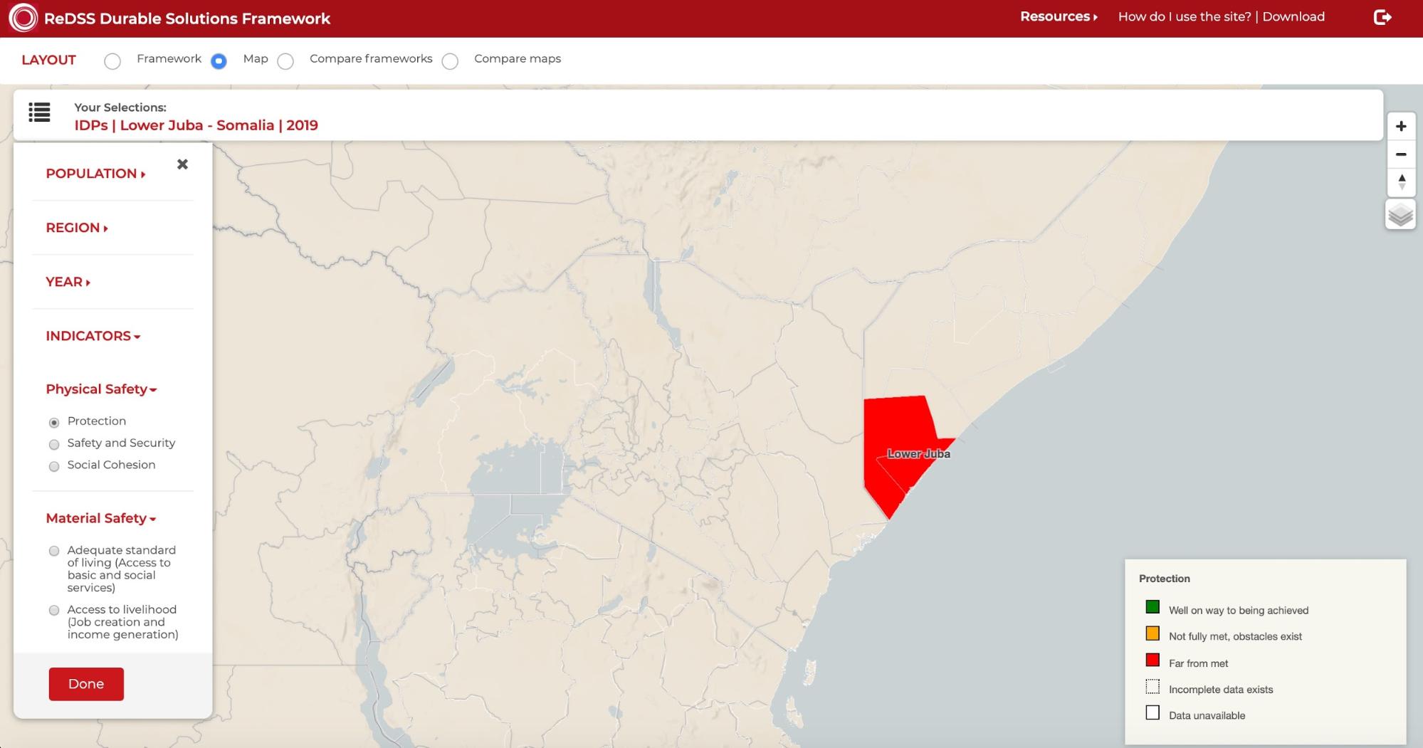
To switch from the framework view to the map view, select Map in the LAYOUT section. The selection on the map defaults to show data collected about the Protection subcriteria in an IDP population from Lower Juba in Somalia in 2019, if you were viewing 2019 data on the framework view.
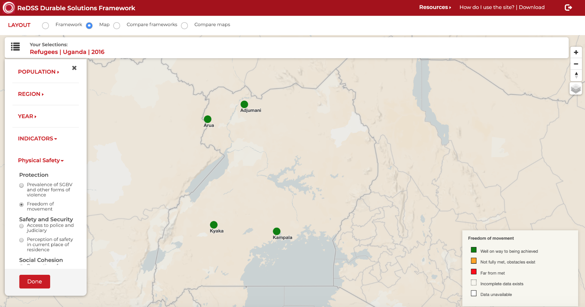
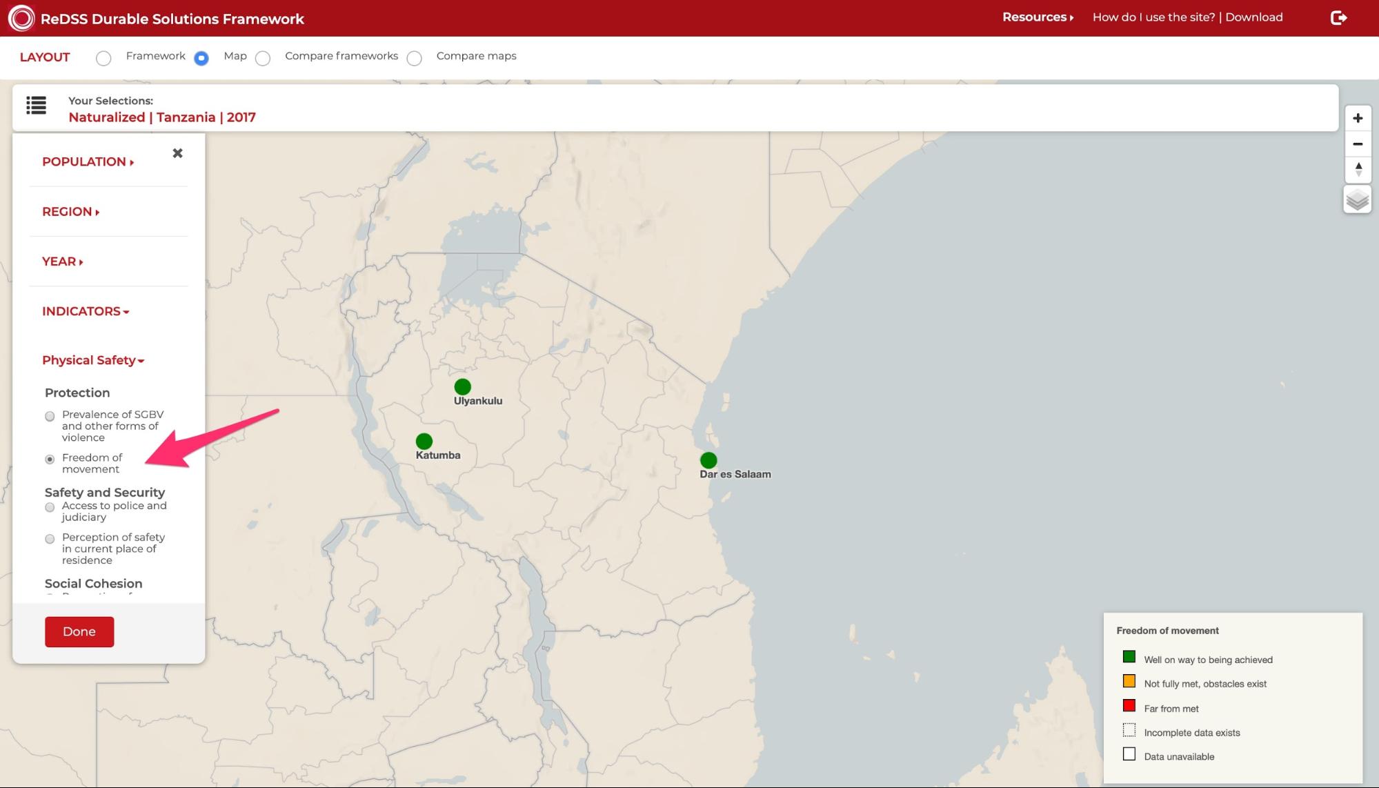
For Tanzania and Uganda, the color coded rating for the selected indicator will be displayed for each settlement in that country as shown below.
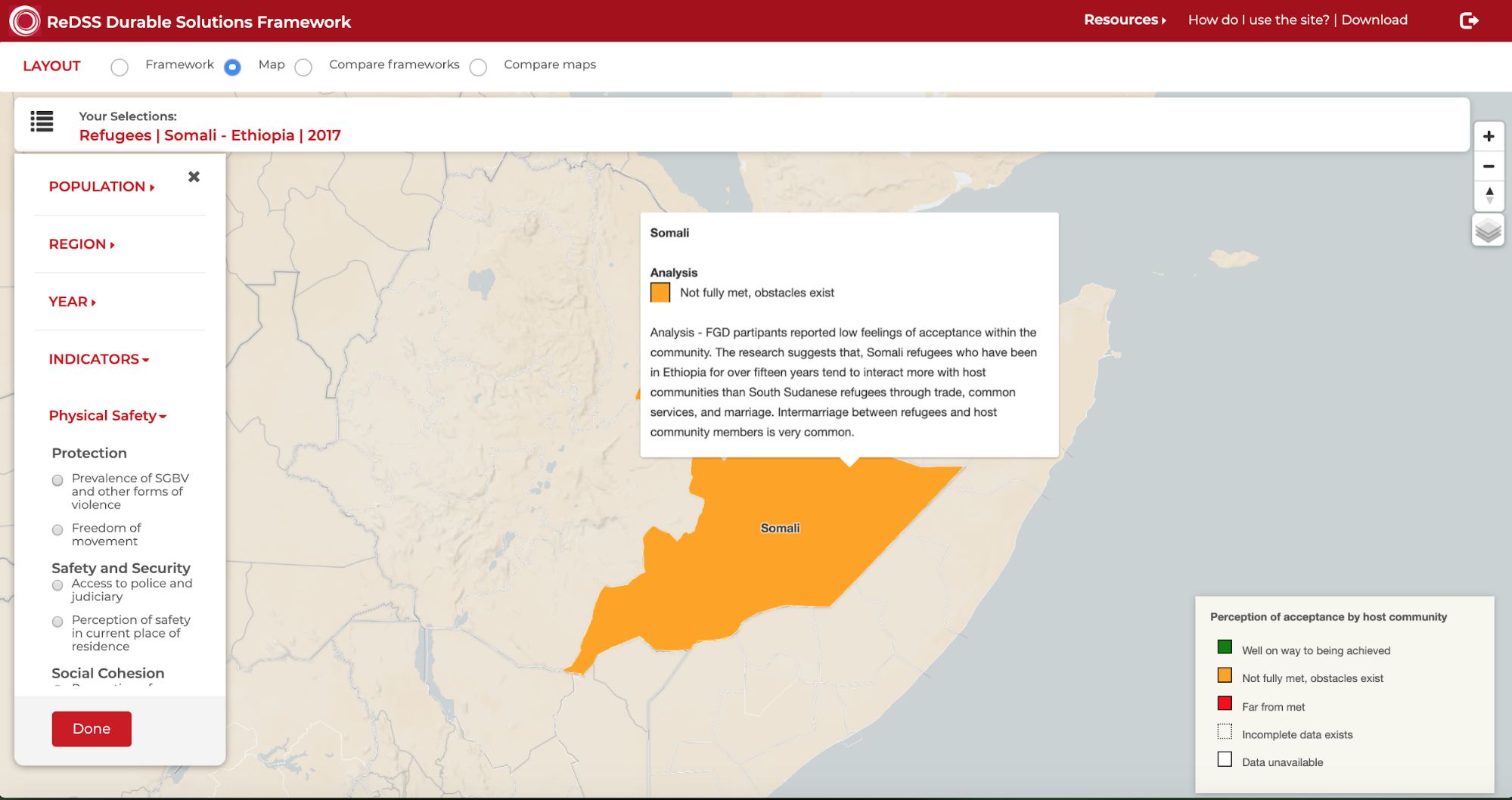
For Ethiopia, Somalia and Somaliland, the color coded rating for the selected indicator will be displayed within the geographical borders of the selected region as shown below.
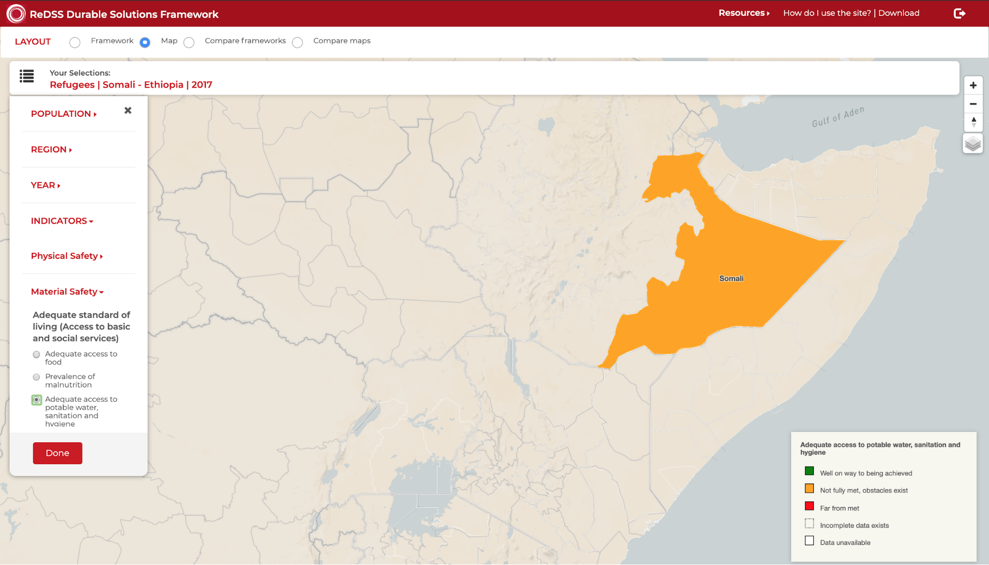
In Map view, you can also select the indicator you want to view and analyze. To find your desired indicator to view, organized under its criteria based on IASC criteria, open the category under which the indicator and criteria are organized. For example, if you want to view Freedom of movement, under Protection, you would open Physical Safety.
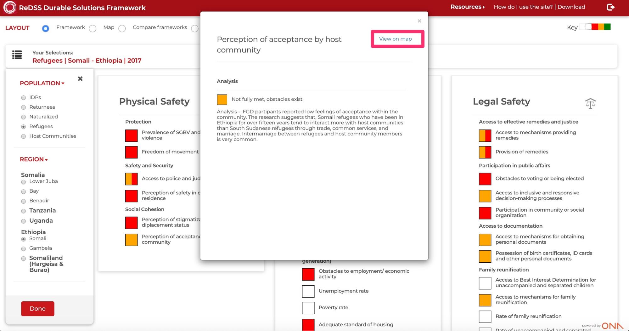
You can also view a specific indicator or sub criteria in the Map view from the Framework view by clicking View on map from the pop-up window for the extended analysis of an indicator or sub criteria.
In-depth Analysis for each Indicator or Sub Criteria for Regions
In the Map view, you can also get a more in-depth analysis for a region’s indicator or sub criteria by hovering your mouse over the region on the map.
Map View Features
In the map view, there are a number of features that can be changed based on user preference.
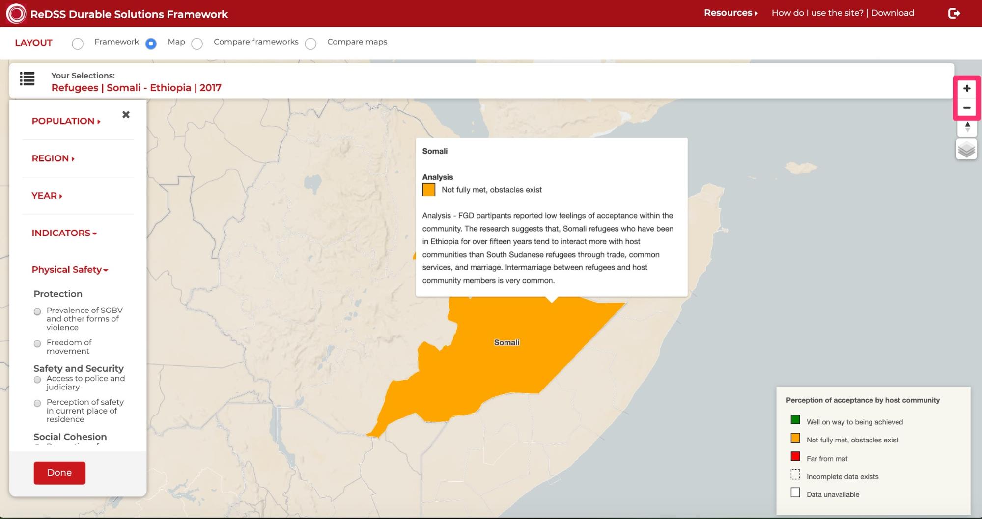
Zoom in/out
You can zoom in to the map by clicking on the + sign in the right corner of the map. If you want to zoom out, you can click on the - sign in the right corner of the map. Zooming allows you to view a specific part of the map. You can click and drag the map as well to move to a specific position on the map.
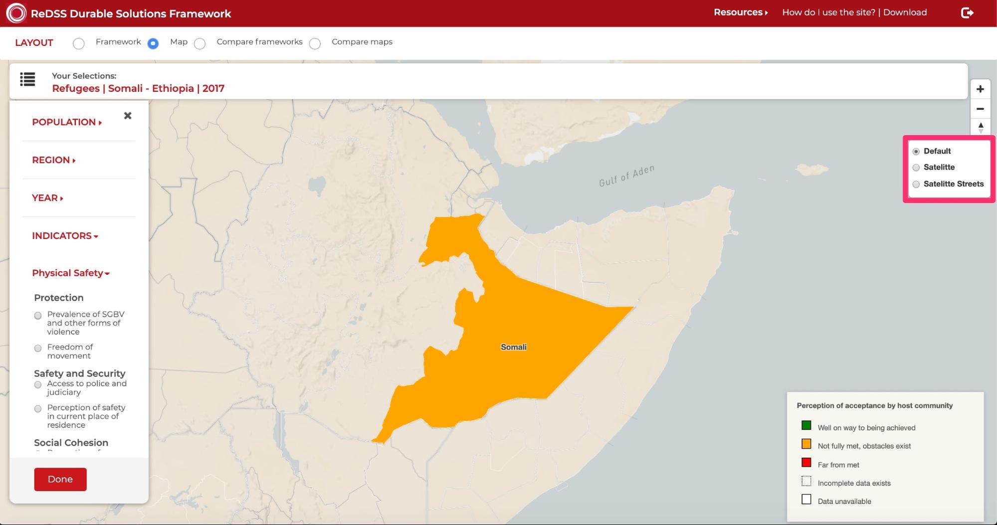
Basemap view
You can change the base map displayed. The base maps choices can be found by hovering your mouse on the layers icon in the top right corner of the map. You can select Default, Satellite or Satellite Streets.